Interactive Planning Maps
Access these interactive external planning maps to gain comprehensive insights into the physical and policy constraints affecting site development potential. These Geographical Information System (GIS) resources cover planning data, flood risk, transport accessibility, air quality, geology, and heritage listings, aiding in informed decision-making and strategic planning.
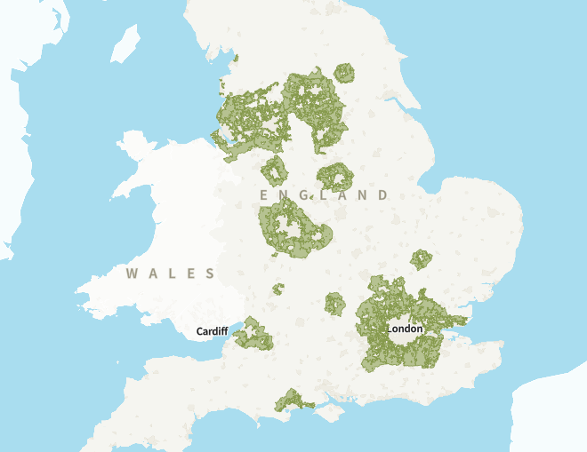
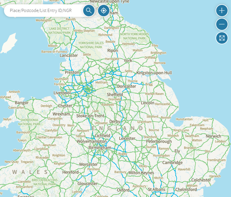
Map of planning data for England
An Interactive planning map if England, prepared by Gov.uk.
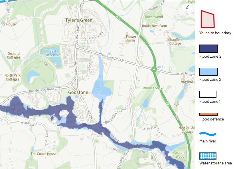
Flood Risk Map
Understand whether your property lies in flood zone, prepared by Gov.uk.
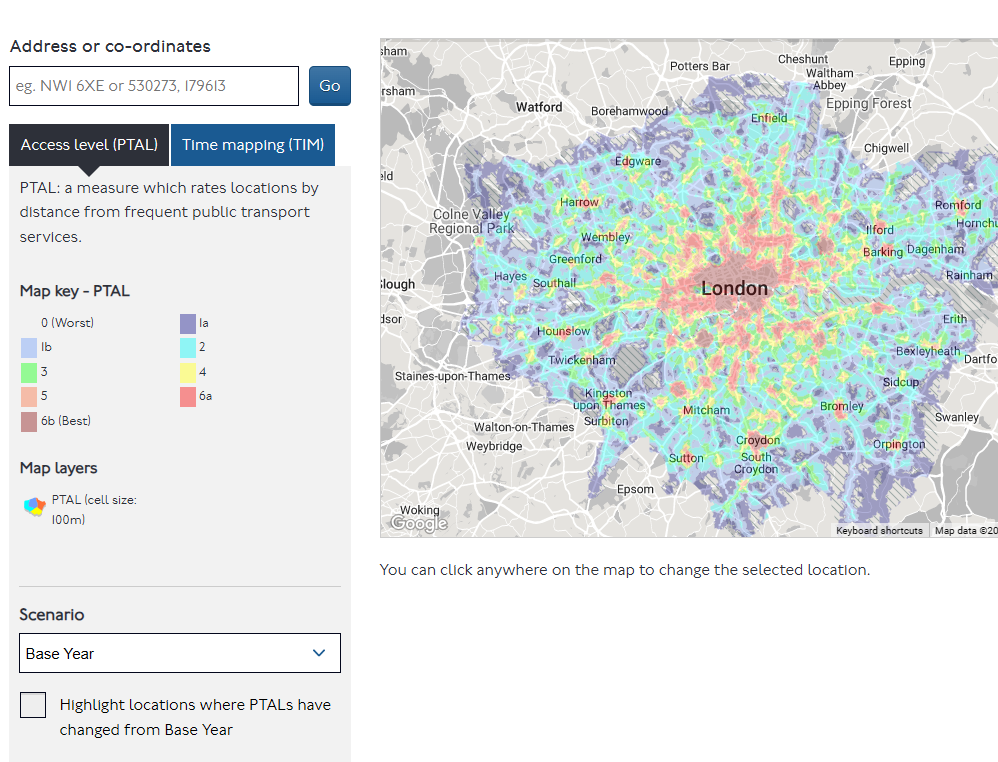
PTAL Calculator
Under stand your public transport accessibility level (PTAL), prepared by Transport for London.
Map of National Heritage list for England
Find out full details about Listed buildings across England, prepared by Historic England.
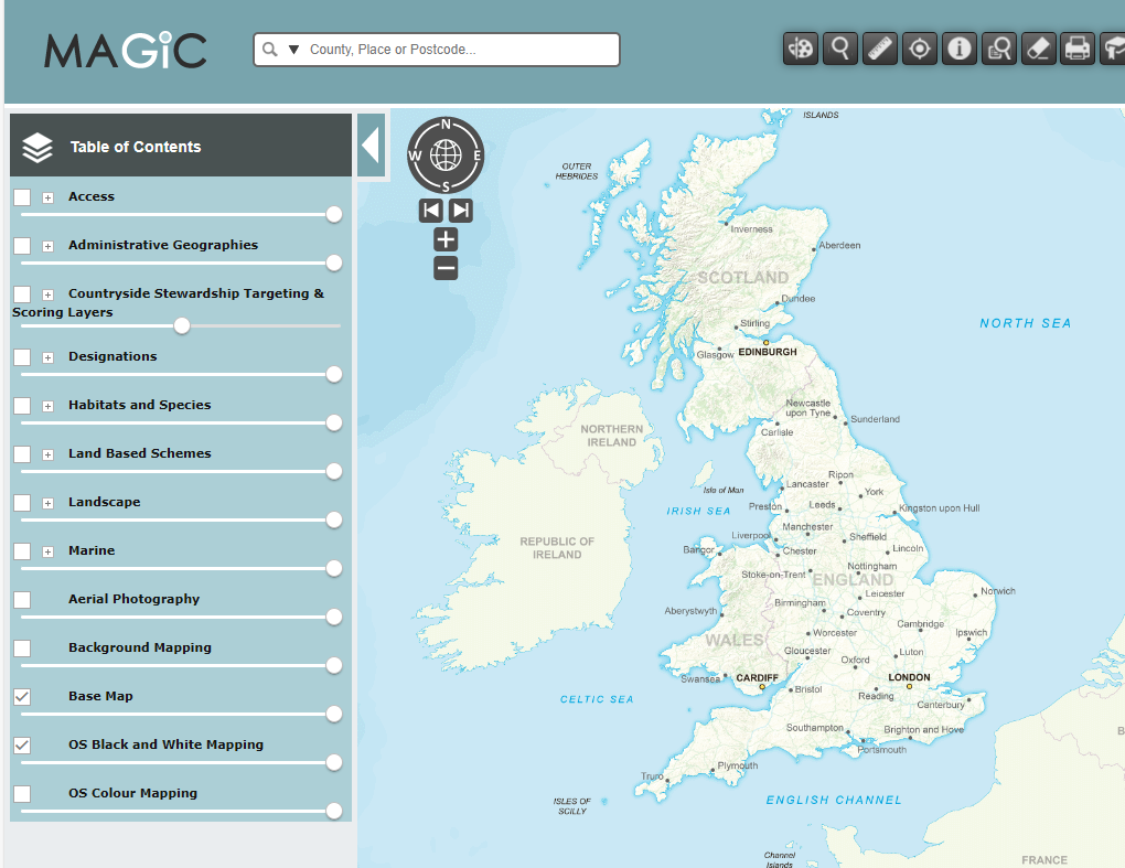
Magic Maps
Use this interactive planning mapping tool, managed by Natural England.
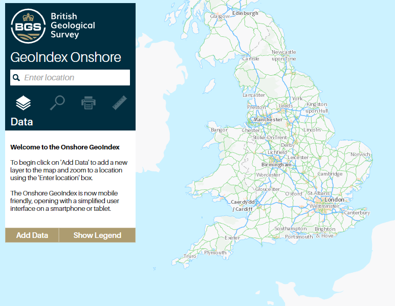
British Geology Map
Access geology data for your area that may impact your development, prepared by British Geology.
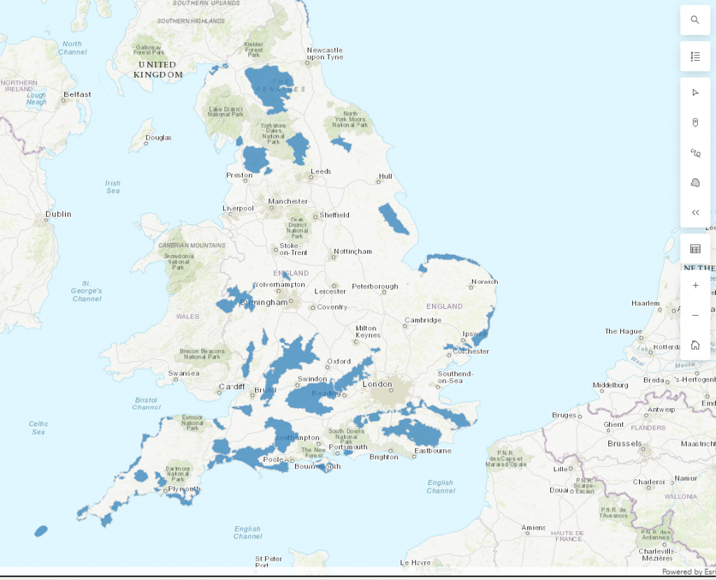
Areas of Outstanding Natural Beauty (AONB)
Use this interactive map to understand the AONB in your area, managed by Natural England
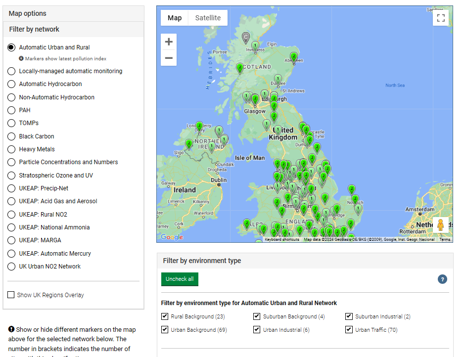
UK Air Monitoring Networks
Understand the air quality in your area, prepared by DEFRA.
Green Belt Map
Understand the extent of the Green Belt across the country, prepared by Gov.uk.
Contact us now to discuss your project.
Get in touch with Bartons to explore how our tailored property services can meet your public sector needs. Our experienced team is ready to help you achieve your project goals efficiently and cost-effectively.