
RESOURCES · INTERACTIVE GIS
A clearer view
of your site’s context.
Explore the physical and policy constraints that shape development potential, with nine official interactive mapping resources.
Choose a resource below to open its live map in a new tab.
 01
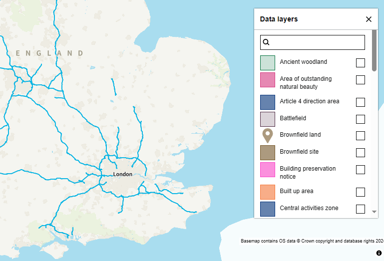
Planning Data · GOV.UK
Planning data for England
Explore mapped planning datasets, with searches by postcode, property reference or local planning authority.
Open interactive map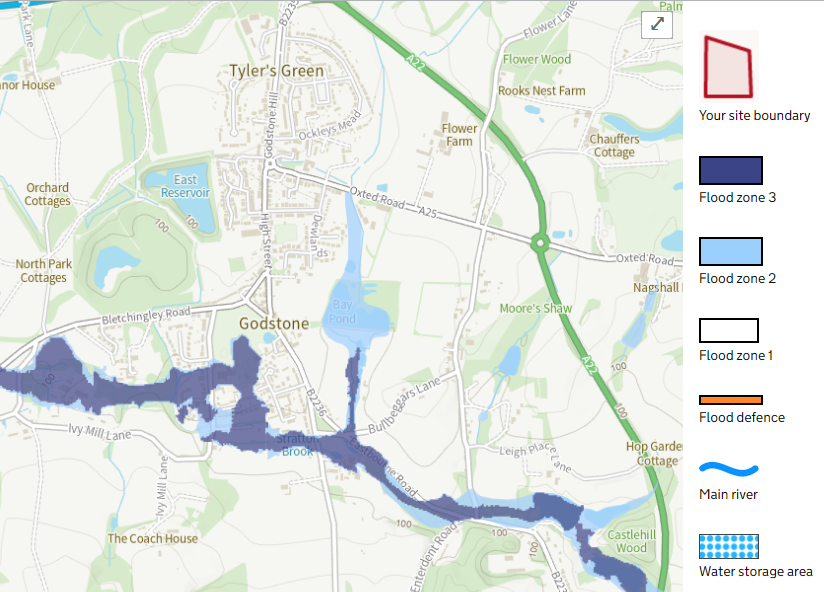 02
Environment Agency
Flood map for planning
Find flood risk information for a site, view the planning map and access supporting flood data.
Open interactive map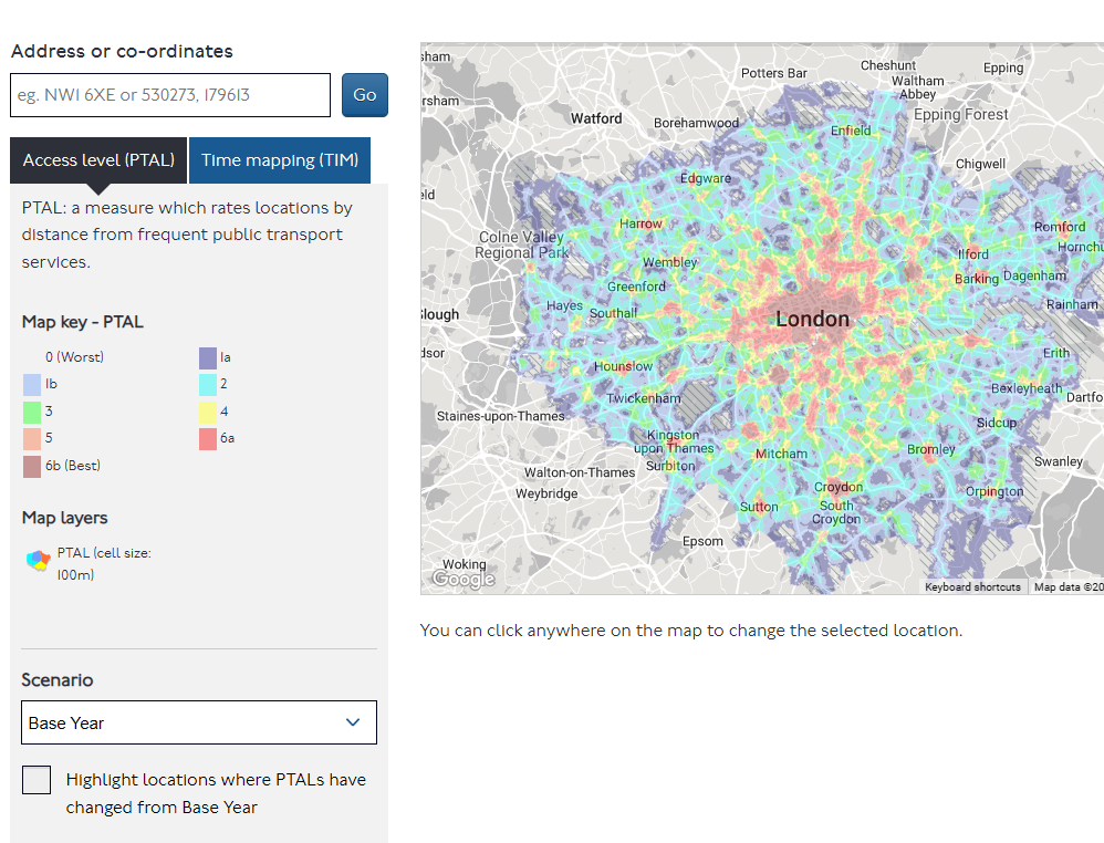 03
Transport for London
Public transport accessibility
Use WebCAT to explore transport connectivity and public transport accessibility levels in London.
Open interactive map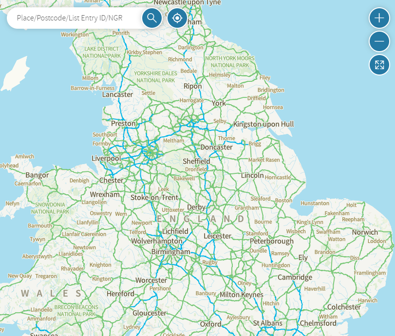 04
Historic England
National Heritage List
Locate listed buildings and protected heritage sites, then open the official list entries.
Open interactive map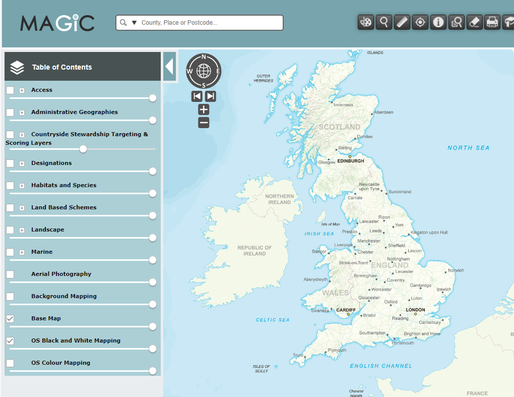 05
Defra
MAGIC environmental maps
Explore environmental information and designated areas through the MAGIC mapping service.
Open interactive map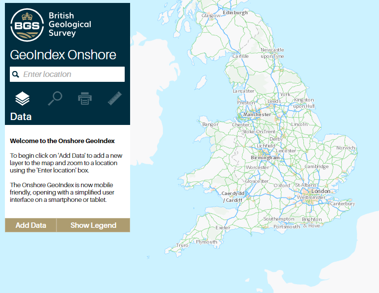 06
British Geological Survey
Geology & ground conditions
Investigate geological mapping, borehole records and other ground-related datasets with GeoIndex.
Open interactive map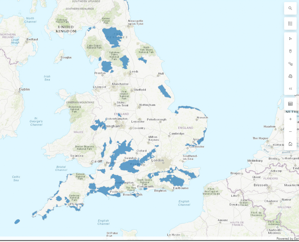 07
Natural England
National Landscapes (AONBs)
Explore the mapped boundaries of Areas of Outstanding Natural Beauty in England.
Open interactive map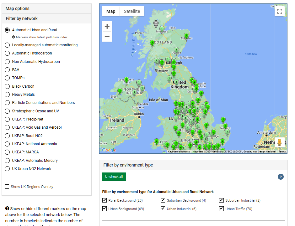 08
Defra · UK-AIR
Air monitoring networks
Find air quality monitoring stations and explore the UK monitoring networks.
Open interactive map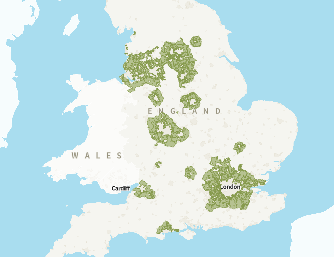 09
Planning Data · GOV.UK
Green Belt
Explore the Green Belt dataset on the national Planning Data map.
Open interactive mapThe preview images come from our original resource library. Open each provider’s map for its current data, coverage and terms of use.
FROM INFORMATION TO A PLANNING STRATEGY
What does the map
mean for your site?
We can help you interpret the constraints and plan your next step.